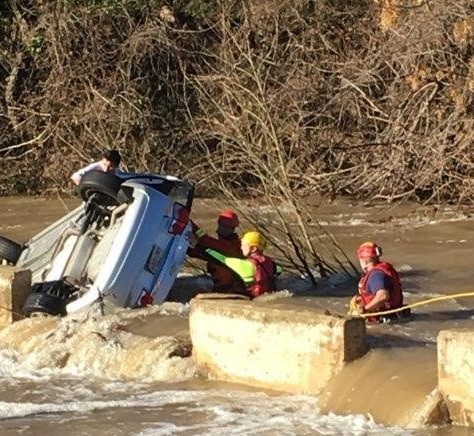
Flooding in Williamson County is a growing community problem. The Williamson County Office of Emergency Management has developed and implemented the Community Flood Protection Plan (CFPP) with other jurisdictions and stakeholders within the county and region. Reasons for developing a CFPP include but are not limited to:
Williamson County is a participant in the National Flood Insurance Program (NFIP), which is based on an agreement between local communities and the federal government that states that if a community will adopt and enforce a floodplain management ordinance to reduce future flood risks to new construction in Special Flood Hazard Areas (SFHA), the federal government will make flood insurance available within the community as a financial protection against flood losses.
The Federal Emergency Management Agency's (FEMA) Flood Insurance, Rate Maps (FIRMs) are used to determine if properties are located within Special Flood Hazard Areas. The County provides map determination services upon request from residents, realtors, lenders, and insurance agents. The following GIS links show the locations of the SFHA, which are based off the most current FEMA Flood Insurance Rate Maps (FIRM):
Williamson County GIS
FEMA Flood Map Service Center
In addition to protecting life and property, flood mitigation can also enhance first responder safety as well as protect at-risk populations, critical infrastructure, and natural resources.
Although proximity to public lands, such as wetlands, can impact flood risk, there are ways to minimize and reduce flood exposure from within the community as well. Focusing on local codes and ordinances, flood mitigation strategies, as well as flood reduction in parks, common-owned areas, and open spaces can greatly lower the risk and impacts of a flood.
Links for the countywide CWPP are below: